The Drone Photography Guide: Aerial Imaging From a Glass-First Shooter
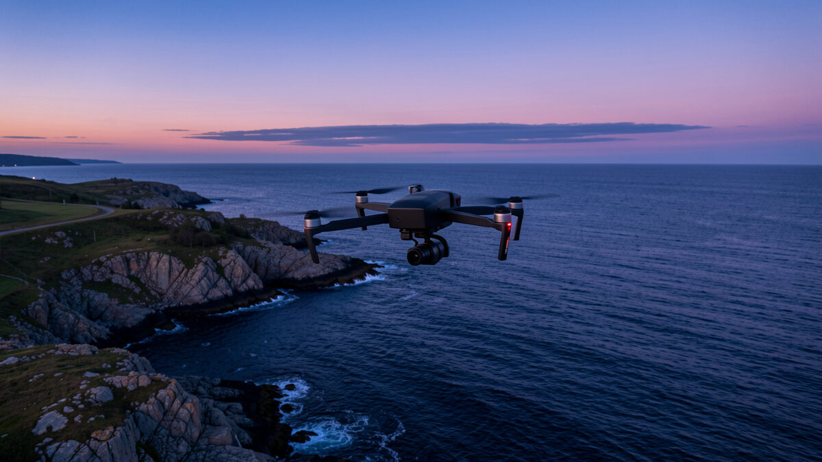
A drone is just a flying camera, and the photographers who get the best out of one treat it that way: focal length first, light always, body second. The sensors that matter for stills now span from the sub-249g Mini class with its 1/1.3-inch chip up to the Four Thirds Hasselblad in the Mavic line — a roughly four-times jump in sensor area that decides almost everything about how the image holds up in print.
I came to drones the same way I came to every lens on my shelf: by charting what they actually do, not what the spec sheet promises. The body I shoot on the ground is a 40MP APS-C Fujifilm and a full-frame Sony reference, and that habit of separating sensor behaviour from lens behaviour is exactly what most aerial reviewers skip. This guide is the map for the whole cluster — pick the right airframe, dial the right exposure, shoot the right light, frame it like a photograph, and stay legal while you do it.
Why a Drone Is a Camera Decision, Not a Gadget Decision
The single most useful thing I can tell a photographer buying their first drone: ignore the flight-time bullet points and look at the sensor. A 1-inch sensor gathers roughly twice the light of the 1/1.3-inch chip in the entry tier, and a Four Thirds sensor roughly doubles that again. That difference shows up as cleaner shadows at the blue hour, more recoverable highlight in a bright sky, and corners that still resolve when you crop for the page.
Everything else — obstacle sensing, transmission range, slow-motion video — is genuinely useful, but it does not put detail into a print. The fixed lens on every consumer drone sits between roughly 24mm and 35mm equivalent at a fast-ish aperture, and because it is fixed you cannot stop down to a sharper aperture the way I do on my XF primes. You fly the aperture you are given, which makes sensor size and the camera’s processing the levers that actually move image quality. That is why the best drones for photography in 2026 sort cleanly by sensor class, and why a cheaper big-sensor airframe usually beats a feature-packed small-sensor one for stills.
The Sensor Ladder: Mini, Air, and Mavic in Plain Terms
Across the mounts and airframes I run, the consumer drone market resolves into three sensor tiers, and the names track them closely. The Mini tier stays under 249 grams to dodge the heaviest registration rules and carries a 1/1.3-inch sensor — superb for travel, honest in good light, noisy when the light drops. The Air tier steps up to a 1-inch-class main camera and often adds a medium-telephoto second lens, which is the first point where the image really starts to feel like it came off a proper camera. The Mavic tier puts a Four Thirds Hasselblad sensor in the air, and that is the one I reach for when the frame is going on a wall.
The honest trade is weight and money against light-gathering. If you want the full breakdown of how the three lines diverge on stills, the DJI Mini vs Air vs Mavic comparison charts them side by side the way I chart a lens lineup — same scene, same light, corner to corner.
| Tier | Sensor class | Typical weight | Best for | Where it struggles |
|---|---|---|---|---|
| Mini | 1/1.3-inch | Under 249 g | Travel, daylight, low-rule-friction flying | Blue hour, deep shadow recovery |
| Air | 1-inch class (often dual lens) | ~600–720 g | All-round stills, reach with a tele lens | Heavier, needs registration in most regions |
| Mavic | Four Thirds (Hasselblad) | ~900–960 g | Print-grade landscape, dynamic range | Cost, bulk, full regulatory weight class |
Exposure From the Air: What Changes and What Doesn’t
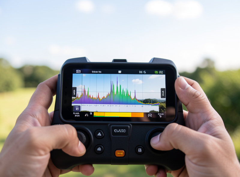
The exposure triangle does not change because the camera is flying — but two things make aerial metering harder than ground work. First, you are almost always shooting toward a bright sky and a darker land, so the dynamic range demand is brutal and the histogram is your only honest friend on a sunlit phone screen. Second, the fixed aperture removes one of your three levers, so you balance ISO and shutter against a constant f-stop, and you protect the highlights with the same expose-to-the-right discipline I use on the ground.
I fly in manual or shutter-priority, lock ISO at base whenever the light allows, and watch the blinkies on the sky rather than trusting the rear screen’s brightness in daylight. Shoot RAW, every frame, no exceptions — the recoverable latitude in a RAW file is the difference between a salvageable sky and a blown one. The full workflow, including how I set shutter for crisp stills versus cinematic video, lives in the drone photography settings guide.
Light Is Still the Whole Game
Altitude does not rescue bad light. The flat, contrast-less midday sun that ruins a landscape on the ground ruins it from 80 metres up too — arguably worse, because from above you lose the long raking shadows that give terrain its shape. The cheapest professional-grade light there is remains the golden hour, and from the air it does something ground-level shooting cannot: it rakes across fields, water, and rooflines to turn flat geography into texture and line.
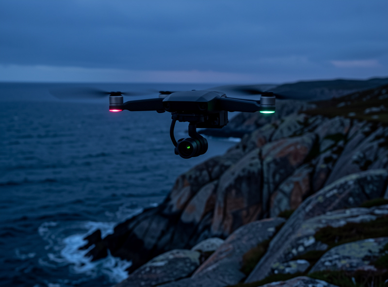
Blue hour is the aerial photographer’s secret weapon — city lights ignite while the sky still holds colour, and the low overall brightness flatters even a small sensor because the scene’s dynamic range collapses to something the chip can hold. I plan flights around the sun the way I plan a landscape hike, and the specific timing, direction, and exposure moves are in the golden hour drone photography tips.
Composing for the Top-Down World
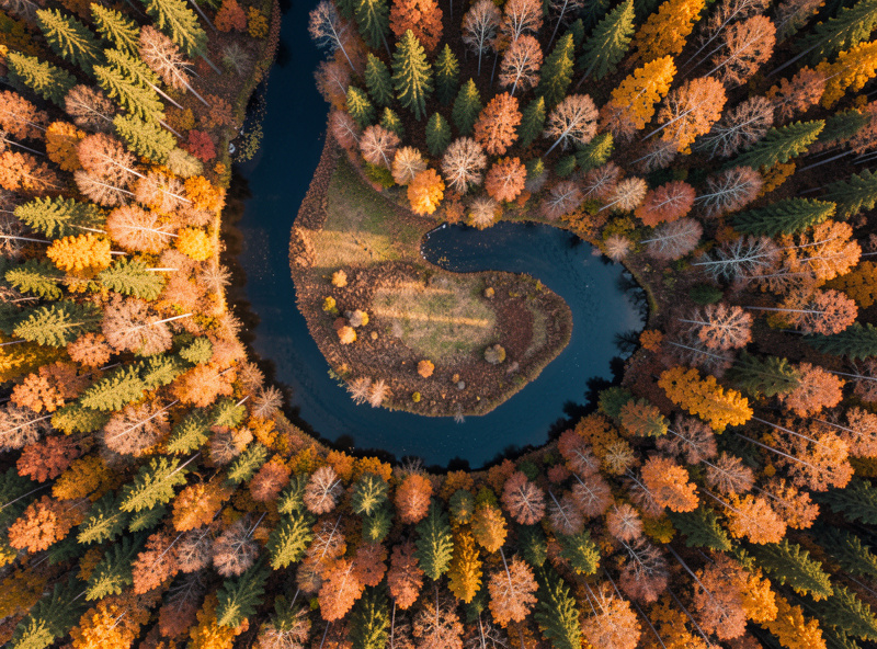
The view straight down is a genuinely new visual language, and most first flights waste it by hovering and pointing the camera at the horizon like a tall tripod. The strongest aerial frames exploit what only altitude offers: pattern, symmetry, leading lines drawn by roads and rivers, and the abstraction that comes from removing the horizon entirely. The rule of thirds still works, but so does dead-centre symmetry when the subject is a radial pattern seen from directly above.
I treat the top-down nadir shot as the signature move and the low oblique as the establishing shot, and I move the aircraft to compose rather than just craning the gimbal. The full framework — nadir versus oblique, negative space, scale anchors, and the patterns to hunt for — is in the drone photography composition guide.
Reading the Drone Camera Like a Lens
Because you cannot swap glass or change the aperture, the drone camera’s optical character is fixed — so it pays to learn it the way I learn a prime. Every fixed lens has a behaviour at its single aperture: a centre that is sharp wide open and corners that lag, some lateral colour fringing on high-contrast edges, and a measurable falloff in the extreme corners that a flat brick wall reveals instantly. The good drone cameras are well-corrected because the maker designs sensor and lens as one unit, but none of them are flawless, and knowing where your copy is weak tells you how hard you can crop.
The practical upshot: the centre of the frame is where the detail lives, so I compose the subject away from the extreme corners and let the corners carry sky or featureless ground. I also watch for the haze that altitude adds — shooting through more atmosphere lowers contrast, and a touch of dehaze in post recovers the micro-contrast the air stole. Treat the fixed lens as a known quantity, chart it once on a distant detailed scene, and you stop fighting it and start working with it — the exposure side of getting the most from that fixed optic is covered in the settings guide.
Bracketing and Panoramas: Beating the Sensor’s Limits
The smaller the sensor, the more you lean on technique to extend its dynamic range and resolution — and the air is the perfect place to do it because the scene usually holds still. Auto-exposure bracketing fires three or five frames across a range of stops, and merging them in post gives you a sky and a foreground that no single exposure off a 1/1.3-inch chip could hold together. I bracket almost every backlit aerial scene; it is the cheapest way to make a Mini-class sensor punch above its area.
Panorama stitching is the other multiplier. A drone holds position precisely enough to shoot a clean grid of overlapping frames, and stitching them yields a file with far more resolution than the native sensor — a 12 or 48MP camera becomes an effective 80 or 120MP landscape. Wide sweeping panoramas and vertical “little planet” projections are aerial signatures precisely because the platform is so stable, and they reward the framing discipline in the composition guide. The trade is processing time and the discipline to lock exposure and white balance across the whole sequence so the frames blend without a seam.
Processing Aerial RAW Files
The develop workflow for an aerial RAW is close to my landscape workflow on the ground, with two aerial-specific moves. First, atmospheric haze: distance through air robs contrast, so a measured dehaze plus a contrast and clarity lift restores the bite, but overdone it turns skies muddy and edges crunchy — I treat it like seasoning. Second, the wide fixed lens often shows some vignetting and a hint of distortion, and the camera’s profile usually corrects it automatically, but I check the corners and dial it by hand when a straight coastline bows.
Everything else is the discipline I bring to any file: develop on a calibrated monitor so the colour I commit to is the colour that prints, expose to the right in the field so I am lifting shadows rather than crushing them, and back every RAW up to a local drive and an offsite copy. I shoot for the print and crop for the page — the extra resolution from a stitched panorama gives me room to do both. Lightroom Classic handles all of it; I have never needed deep compositing for aerial work because the drone hands me the geometry the ground never could.
Flying Legal Is Part of Being Good
The fastest way to lose access to aerial photography is to fly somewhere you shouldn’t and hand the authorities a reason to tighten the rules. Registration thresholds, remote-ID requirements, altitude ceilings, and no-fly zones around airports and crowds are real and they vary by country — and the sub-249g weight of the Mini tier exists specifically to sit under the heaviest of those thresholds in many regions.
I keep current with the rules the way I keep current with firmware, because the penalties are steep and the no-fly maps change. The practical, photographer-focused walkthrough of registration, remote ID, where you can and cannot fly, and how to read an airspace map is in drone regulations for photographers. For the primary sources, the U.S. FAA UAS hub and the European EASA civil drones pages are the documents to actually read, not a forum summary of them.
What Altitude Actually Adds to a Photograph
It is worth being precise about what you are buying when you put a camera in the air, because “a higher viewpoint” undersells it. Altitude removes the foreground-clutter problem that plagues ground landscape work — the parked cars, the fences, the power lines — and hands you a clean graphic plane. It reveals structure the eye never sees from inside it: the meander of a river, the grid of a harbour, the way a forest gives way to a field along a hard edge. And it lets you control the relationship between subject and surroundings by simply flying higher or lower, which on the ground would mean a different lens or a different location.
The flip side is that altitude flattens. The depth cues we rely on — overlapping layers, atmospheric perspective, a strong foreground — weaken or vanish when you look straight down, which is exactly why composition becomes the discipline that separates a snapshot from a photograph up there. The strongest aerial shooters do not just go high; they choose the precise height where the scene’s geometry reads most clearly, then fly the aircraft a few metres in each direction to clean up the edges. It is the same patience I bring to setting up a tripod, just with three dimensions of movement instead of two.
The Mistakes That Cost the Most Frames
The errors I see most often are not flying errors, they are photographer errors. The first is flying in flat midday light because the sky is clear and it feels safe — clear and harsh is the worst aerial light there is, and an overcast day with raking edge light at the horizon usually beats it, which is the whole argument of the golden hour guide. The second is shooting JPEG to save card space and then wondering why the sky clipped; the RAW would have held it. The third is hovering and craning the gimbal instead of repositioning the aircraft, which produces a static, samey set of frames from one spot.
The fourth, and the one that ends sessions early, is mismanaging power and weather. A cold battery loses capacity fast, wind aloft is always stronger than at ground level, and a drone fighting a gust burns through a pack while you get fewer keepers. I land with reserve, I never chase a low-battery warning for one more frame, and I check wind at altitude rather than the breeze on my face. None of these are advanced — they are the boring discipline that lets the optics do their job.
Building Your Aerial Kit Around the Camera
Once the airframe is chosen, the rest of the kit is small but decisive. Spare batteries buy you the second and third golden-hour pass — a single pack rarely survives a proper light-chasing session, and field power matters more than anything else in the bag. A set of ND filters lets you drag the shutter for smooth water and motion in bright light, since you cannot close the aperture to do it. A fast, high-endurance microSD card keeps the RAW buffer from choking. Beyond that, it is the same discipline I apply to every kit: calibrated screen at home, RAW backed up to a local drive and offsite, and the restraint to not buy the next body when the one I fly already out-resolves my output.
If you are shooting long sessions far from the car, a small LiFePO4 power station to recharge packs in the field is the single upgrade that changes how much light you can actually catch in a day. Everything in this cluster assumes you are shooting RAW, chasing the good light, and treating the drone as the most capable travel camera you own — because in the right hands, that is exactly what it is.
One more thing about the bag: keep it small. The temptation with aerial gear is the same gear-acquisition disease that bloats a camera bag — a second drone, a third filter set, the accessory that promises a marginal gain. Resist it. A capable airframe, three or four batteries, a polariser and a couple of ND strengths, a fast card, and a means to charge in the field will out-shoot a cupboard of kit, because what limits your aerial photography is almost never the equipment. It is whether you were in the air when the light was good, whether you exposed for the highlights, and whether you framed the geometry the altitude handed you. The same camera that documents my welded rigs, the hydroponic system, and the sourdough crumb shot earns its keep in the sky for exactly that reason — it is the most capable travel camera I own, and I treat the drone as an extension of it, not a separate hobby.
Frequently Asked Questions
Do I need an expensive drone to take good photographs?
No. A sub-249g Mini-class drone with a 1/1.3-inch sensor produces excellent stills in good light and crops cleanly for web and small prints. Sensor size matters most for blue-hour and high-dynamic-range scenes, so spend up only if you regularly shoot in low light or print large.
What sensor size should I prioritise for drone photography?
Prioritise the largest sensor your budget and weight tolerance allow. A 1-inch sensor gathers about twice the light of the 1/1.3-inch entry class, and a Four Thirds sensor doubles that again. Larger sensors mean cleaner shadows, more highlight recovery, and corners that hold detail when you crop.
Should I shoot RAW or JPEG from a drone?
Always shoot RAW. Aerial scenes routinely pit a bright sky against darker land, and only a RAW file holds the latitude to recover both. JPEG bakes in the camera’s tone curve and throws away the highlight and shadow data you need to rescue a difficult sky.
What is the best time of day to fly for photography?
Golden hour and blue hour. The low, raking light of golden hour gives terrain texture and shape, while blue hour collapses the scene’s dynamic range so even a small sensor holds it cleanly while city lights glow. Midday sun is flat and unflattering from altitude.
Do I have to register my drone to take photos legally?
It depends on weight and region. Many countries exempt sub-249g drones from the heaviest registration rules, which is why the Mini class sits just under that line. Above that weight, most regions require registration, remote ID, and adherence to altitude and no-fly-zone rules. Check your national authority before flying.
Can a drone replace my regular camera for landscapes?
It complements rather than replaces it. A drone gives you angles and abstractions no tripod can reach, but a fixed wide lens and a smaller sensor limit it for detailed, low-light, or telephoto landscape work. The best aerial photographers run a drone alongside a ground camera, not instead of one.
Related Guides in This Cluster
- Best Drones for Photography in 2026 — the airframes worth flying, sorted by sensor.
- DJI Mini vs Air vs Mavic — the three tiers charted for stills.
- Drone Photography Settings Guide — exposure, RAW, and the moves that matter.
- Golden Hour Drone Photography Tips — planning and shooting the best light.
- Drone Photography Composition Guide — framing the top-down world.
- Drone Regulations for Photographers — flying legal, everywhere.
Leave a Reply